
Survey & Mapping
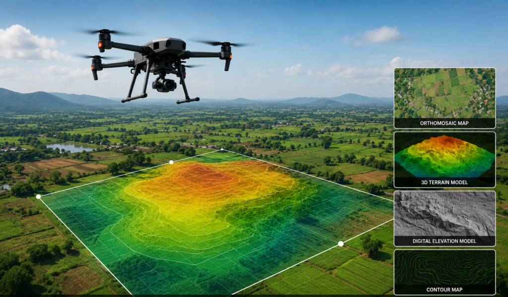
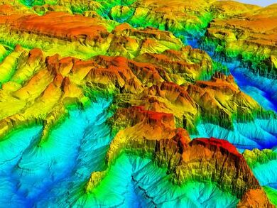
Drone-based survey and mapping solutions provide fast, accurate, and cost-effective geospatial data for industries such as construction, mining, agriculture, infrastructure, and land development. At Eagletronics Aviation, we utilize advanced UAV technology equipped with high-resolution cameras and intelligent flight planning to deliver detailed maps, orthomosaics, digital elevation models, and 3D terrain data.
Our drone surveys significantly reduce project timelines while providing centimeter-level accuracy, enabling better planning, monitoring, and decision-making.
Why Choose Drone Surveying?
Advanced aerial vision system
High-Accuracy Data Collection
Capture precise aerial data with centimeter-level accuracy.
Enhanced Operational Safety
Survey hazardous or inaccessible locations without risking personnel.
Faster Project
Completion
Survey large areas in a fraction of the time compared to traditional methods.
High-Resolution Outputs
Generate detailed maps, models, and measurements for engineering applications.
Cost-Effective
Operations
Reduce manpower, equipment, and operational expenses.
Real-Time Project Monitoring
Track project progress and compare site changes over time.
Outputs we provides
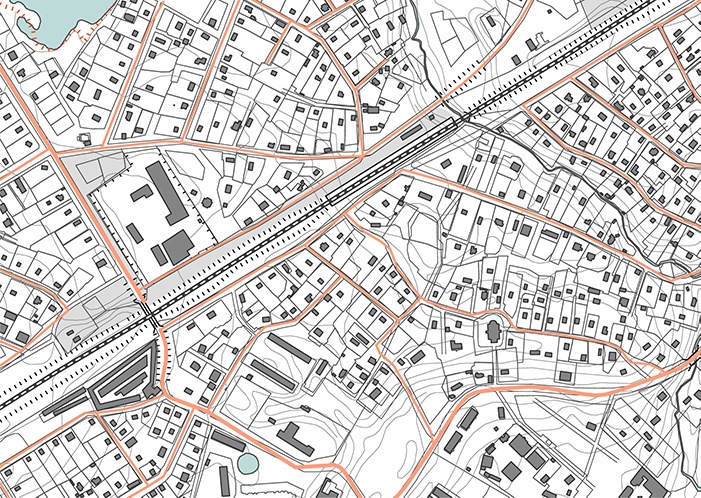
Topographic Survey
Accurate terrain mapping for engineering, infrastructure development, and land planning.
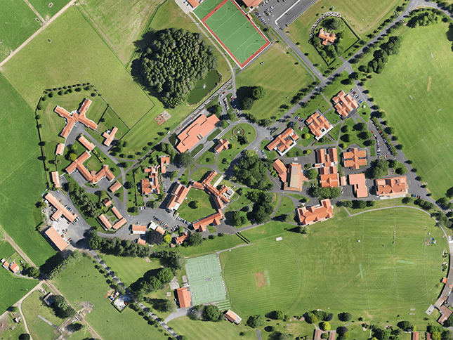
Orthomosaic
Generate high-resolution, georeferenced aerial maps for detailed site analysis.
Terrain Model
Create realistic 3D models for volume calculations, planning, and visualization.
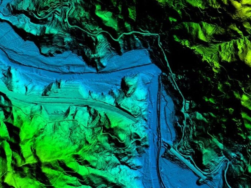
Digital Elevation Model (DEM)
Develop elevation datasets for drainage planning, contour generation, and civil engineering.
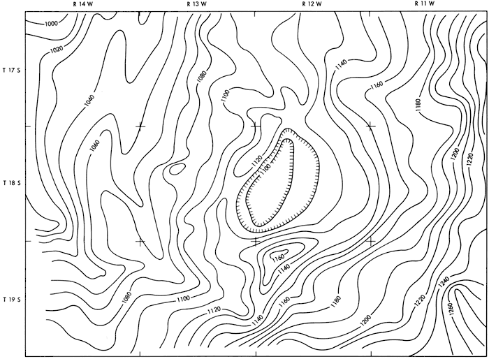
Contour Mapping
Generate accurate contour maps for land development and construction projects.
Why Choose Us
Experienced UAV Survey Professionals
High-Resolution Mapping Technology
DGCA-Compliant Drone Operations
Accurate & Reliable Deliverables
Sensor's we use

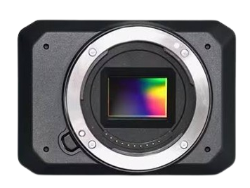
RGB Surveying Camera
Captures visual red, green, and blue light to create high-resolution, georeferenced maps and 3D models.
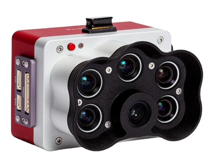
Multispectral Sensor
Multispectral drone sensors capture invisible light (like Near-Infrared and Red Edge) alongside RGB to analyze crop health, soil moisture, and environmental conditions.
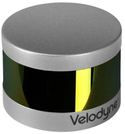
LIDAR Sensor
LiDAR (Light Detection and Ranging) sensors use pulsed laser light to measure distances, creating high-resolution 3D maps and point clouds of environments.
Connect with us
Take Your Operation to New Heights
Office : 105, Centre Point,
Ishwarpur, Maharashtra. 415409
