
UAV Data Processing

Offering an end-to-end workflow:

chatgpt image jul 22, 2026, 01 20 16 pm
UAV Data Processing

Transforming Aerial Data into Actionable Intelligence

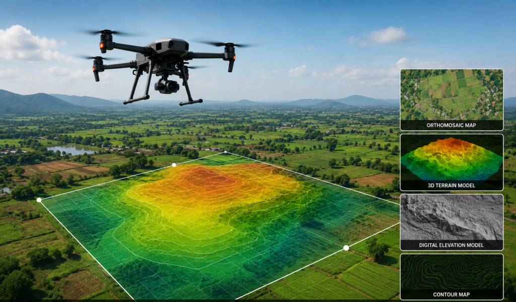
Drone data processing converts high-resolution aerial imagery and sensor data captured by UAVs into accurate 2D maps, 3D models, elevation data, point clouds, CAD drawings, and GIS-ready datasets.

At Eagletronics Aviation, we process drone survey data to help engineers, surveyors, infrastructure companies, agriculture professionals, mining operators, and government organizations make faster and better-informed decisions.

Outputs we provides

topographic
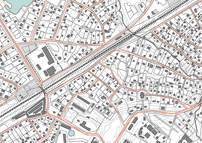
Topographic Survey

Accurate terrain mapping for engineering, infrastructure development, and land planning.

orthomosaic
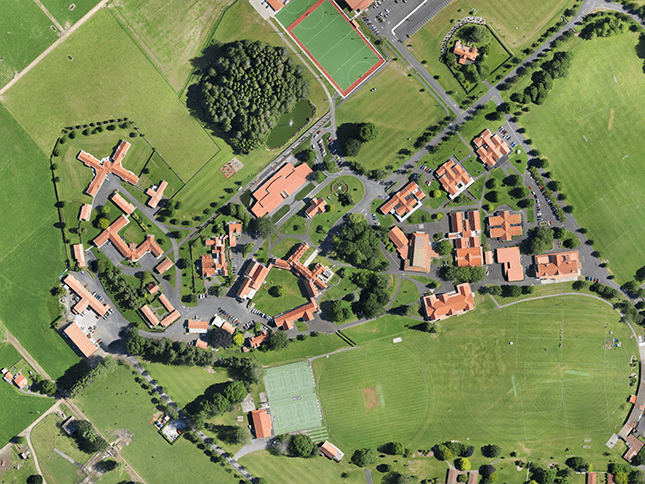
Orthomosaic

Generate high-resolution, georeferenced aerial maps for detailed site analysis.

dtm
Terrain Model

Create realistic 3D models for volume calculations, planning, and visualization.

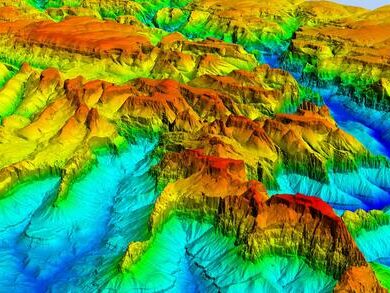
dems over zion national park
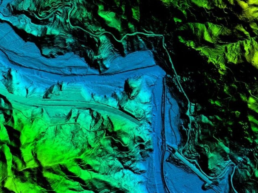
Digital Elevation Model (DEM)

Develop elevation datasets for drainage planning, contour generation, and civil engineering.

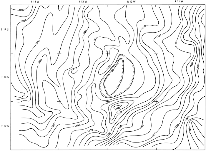
contours
Contour Mapping

Generate accurate contour maps for land development and construction projects.

Why Choose Us

Experienced UAV Survey Professionals

High-Resolution Mapping Technology

DGCA-Compliant Drone Operations

Accurate & Reliable Deliverables

Sensor's we use

images removebg preview

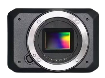
RGB Surveying Camera

Captures visual red, green, and blue light to create high-resolution, georeferenced maps and 3D models.
1 34 removebg preview

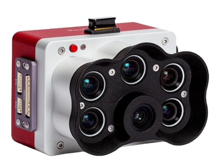
Multispectral Sensor

Multispectral drone sensors capture invisible light (like Near-Infrared and Red Edge) alongside RGB to analyze crop health, soil moisture, and environmental conditions.
176220 12073849 removebg preview

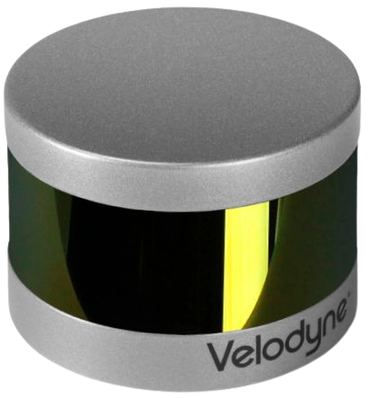
LIDAR Sensor

LiDAR (Light Detection and Ranging) sensors use pulsed laser light to measure distances, creating high-resolution 3D maps and point clouds of environments.
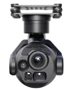
image removebg preview (2)

Connect with us

Take Your Operation to New Heights

Office : 105, Centre Point, 

Ishwarpur, Maharashtra. 415409

Need Accurate Drone Survey & Mapping Services?

Address

105, Centre Point,  Ishwarpur, Maharashtra. 415409

Email

vikrant@eagletronicsindia.com

Phone

+91 9923779308